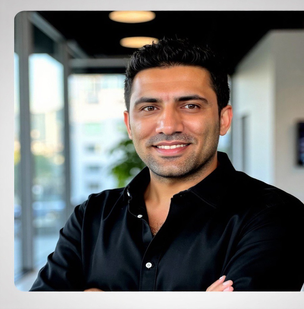
PhD Researcher in Remote Sensing
#ThermalRemoteSensing#Thermography#Geostatistics#GeoAI
01 HeatLive
How do we find the inefficient houses across a whole city?
How much energy is each building losing?
And how do we get people to change their behavior?
HeatLive takes MWIR thermal
images of entire cities, captured by airplane at night, and uses
heat transfer, machine learning, and building
science to find out. It also shows homeowners a real
3D model of their own house, so the heat loss
feels personal and hard to ignore!
02 Agentic GeoAI (brooksie.ai)
ISPRS 2026 CATCON Finalist · Talk with Google Earth Engine
Talk to Earth. Ask a question in plain language, and an AI agent
pulls live geospatial data and shows the answer right on the map.
No GIS work required.
As agentic AI took off, I took my Google Earth Engine App
(project 08) one step further: instead of menus and dialogs, a
single prompt. Users
simply describe what they need, and the agent works with
geospatial and remote sensing data in
Google Earth Engine for them.
03 Virtual Energy Assessment
No energy expert needs to visit the house. We measure a home's
efficiency virtually, using nearly 5 million energy records and
machine learning, in line with
NRCan's virtual assessment standard.
04 Flash Flood Simulation
Official flood hazard maps come from full hydraulic models. They
are the gold standard, but they take months or years to update
and don't cover every stream. This is a fast
GPU flash flood simulation: give it a rainfall
rate, a LiDAR Digital Terrain Model, and an
area of interest, and within minutes you get an approximate
picture of where the water goes.
It trades accuracy for speed (no Manning roughness, no
infiltration, limited by DTM resolution), so it complements
official maps rather than replacing them. But when you have
nothing else, it's a quick digital twin for
"what if" scenarios.
Remote sensing can model a building's outside (LOD2), but energy
modeling needs the inside too (LOD4), and building that by hand
was painful during my thesis. So I built a pipeline that uses
OCR and deep learning to read 2D architectural drawings and
generate a 3D gbXML model, ready for energy simulation.
Comparing interpolation methods meant juggling different
libraries. So I built one Python package that runs IDW, kriging,
RBF, natural neighbor, cubic, and spline side by side.
Try it in Colab or install from PyPI. Links below.
In 2020, Google Earth Engine was the hot topic
in remote sensing: petabytes of satellite imagery and planetary
scale processing, free for research. But using it meant writing
JavaScript or Python, and many researchers and
students who could benefit from it could not code.
So I built a desktop app that puts Earth
Engine behind menus, dialogs, and an interactive map. Pick
a satellite, bands, area, dates, and cloud cover, then run
classification (SVM, random forest, CART), clustering,
segmentation (SNIC, k-means), spectral indices like NDVI, and
accuracy assessment, without writing a single line of code.
09 Awesome GeoAI
A comprehensive reference for the geospatial AI ecosystem:
geo foundation models, datasets, companies, products, services,
satellites, sensors, data formats, and the full engineering
stack.
GeoAI resources are scattered across model releases, dataset
portals, research labs, startups, satellite providers, drone
workflows, and deployment stacks. This repo organizes the
critical pieces in one place so you can quickly find what
exists, compare options, and decide what is useful for research,
prototyping, or production geospatial AI systems.
Every satellite sees a fire differently, but each has its own
resolution, projection, and overpass time. So I built a
NASA Earthdata pipeline that fuses
ECOSTRESS thermal, Landsat,
and Sentinel-2 SWIR onto one shared grid and
flags active fire pixels with a statistical heat threshold. I
tested it on four major California fires, including the August
Complex and Dixie fires.
11 Post-Disaster Recovery Monitoring
2020 · Applied Sciences paper
How fast does a region come back after a disaster? Using
Google Earth Engine, Landsat 7 and 8 imagery
was turned into cloud-free composites and classified with
Random Forest (over 88% accuracy) to map the
damage from Typhoon Haiyan and three years of recovery across
62 municipalities in the Philippines.
12 Neural Roof Reconstruction under the Manhattan-World Assumption
Neural networks find roofs well, but their outlines are messy
and blobby, and trees hide parts of the edges. Most houses,
though, are just 2–4 rectangles at right angles.
So I combined a segmentation model with the
Manhattan-world assumption: every roof edge
runs in one of two perpendicular directions. The method finds
the house orientation, fits a few perpendicular rectangles to
the roof mask, and merges them into one clean polygon. Where
trees block the view, the 90° rule fills in the hidden edges
and corners.
The result is a clean, regular roof polygon, ready for
3D modeling and energy analysis.
Develop physics-informed ML for building-envelope performance and heat-loss behavior from high-resolution airborne thermal infrared imagery.
Adapt SAM2 for MWIR (3-5 µm) building-footprint segmentation using fine-tuning, prompt engineering, and knowledge distillation.
Work end-to-end across aerial data ingestion, model training, evaluation, and production analytics for city-scale customers.
Machine Learning Researcher
University of Calgary · Eyes High + Mitacs Award
Sep 2021 - Present
Built ML pipelines on 4.6M+ Canadian EnerGuide records and airborne TIR imagery for national-scale residential energy-efficiency prediction.
Designed transformer, autoencoder, and teacher-student distillation models, improving R2 by 0.15-0.16 across architectures.
Translated research into reproducible code, peer-reviewed publications, and city-scale planning artifacts.
Teaching Assistant
Department of Geography · University of Calgary
Sep 2023 - Present
Supported GEOG 485 Quantitative Analysis, GEOG 588 Urban GIS & Spatial Data Analytics, GEOG 482 Applied Geospatial Data Science, GEOG 380 Spatial Storytelling, and GEOG 682.
Led labs in Python, QGIS, ArcGIS suite, regression, spatial modeling, task automation, and feature extraction on real urban datasets.
Lead Geospatial Engineer
Havabord Co. · Esfahan, Iran
Apr 2018 - Jan 2021
Led enterprise GIS implementations for urban-infrastructure and environmental clients, including data migration, system integration, and validation.
Coordinated technical teams across data engineering, spatial analysis, and client delivery.
Collected drone data across cities to update municipal inventory and produce 3D city models from aerial point clouds and photogrammetric reconstruction.
Geospatial Data Engineer
Iran's National Elites Foundation · Tehran, Iran
Sep 2015 - Apr 2018
Built and validated spatial datasets and analytical workflows supporting national research initiatives.
Education
Ph.D., Remote Sensing
University of Calgary
Sep 2021 - 2026
AI/ML for airborne thermal imagery, large-scale residential energy modeling, and LiDAR rooftop geometry features for heat-loss analysis.
Data modeling, data warehousing, and database administration.
M.Sc., Artificial Intelligence in Earth Observation
Kharazmi University
2016 - 2019
Photogrammetric 3D modeling, remote-sensing reconstruction, spatial analysis, and AI for earth observation.
B.Sc., Landscape Architecture
University of Tabriz
2011 - 2015
Site analysis, landscape ecology, and spatial design: where I first learned to read land at scale, the root of my work in remote sensing.
Certifications
Level 2 Certified Thermographer
Collecting drone data for inspections, 3D thermography, and thermal vision workflows.
Advanced Licensed Drone Pilot
Transport Canada. RPAS BVLOS certification in progress: exam passed, 20-hour course completed, flight review pending.
Project Management Professional (PMP)
Preparing for the exam.
How I Build GeoAI Systems
1. Data
Collecting data across platforms (drone, aircraft, satellite, ISS) and sensors (midwave + longwave thermal, LiDAR, hyperspectral, RGB), plus 3D data like point clouds and reconstructed meshes. I also fly drones and collect data myself.
Cleaning, preprocessing, and mosaicking raw imagery into something usable, radiometric calibration, georeferencing, structure-from-motion, and 3D reconstruction (orthomosaics, meshes, Gaussian splats).
Storing imagery, labels, and derived layers in databases and object storage so I can query them fast and version the training sets for reproducible experiments.
Picking model architectures, training them, and evaluating results. I work with vision-language models, transformers, autoencoders, knowledge distillation, geospatial foundation-model fine-tuning (SAM2, Prithvi, Clay), multimodal RAG, physics-informed ML, and time-series + spatial modeling.
Watching how models perform once they're live, catching drift and edge cases, and retraining when the data shifts.
Stack: Evidently, scheduled retraining pipelines.
Awards
Eyes High Doctoral ScholarshipComputer Vision, Thermal Imagery & Energy Efficiency · $140,000Mitacs Research AwardMachine Learning & Energy Efficiency · $40,000 · Competitive national research fundingAI for Earth ScholarshipAlberta Machine Intelligence Institute (AMII)Research Excellence Award in Rapid Energy Innovation (UREIKA)University of CalgaryGeovation Lab Research Excellence AwardUniversity of Calgary · $40,000Alberta Cities Research AwardUniversity of AlbertaEvolve to Innovate (e2i) AwardUniversity of Calgary + Innovate CalgaryNRC Lab2Market ValidateNational Research Council Canada research commercialization program